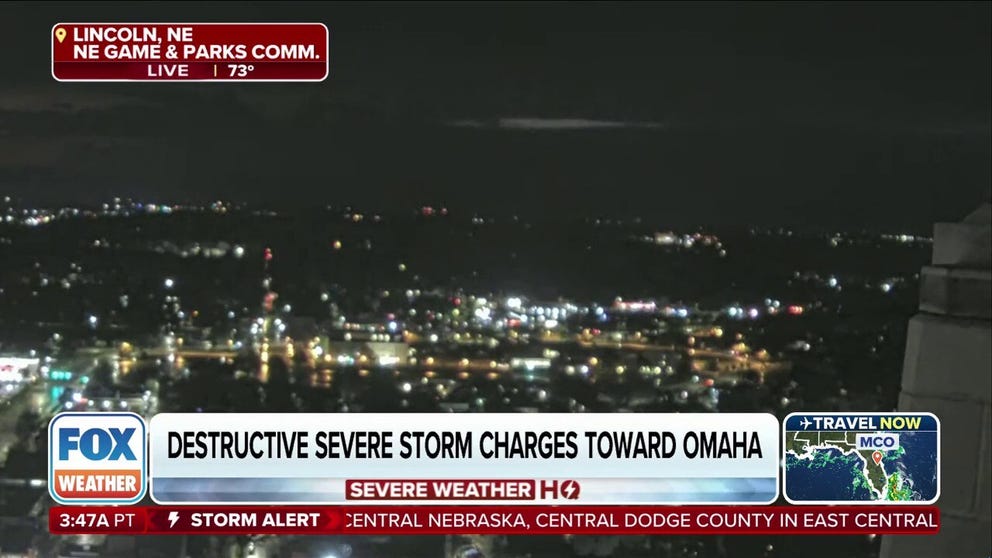
Residents in Omaha need to be on alert as severe storms blast through the MIdwest. Wind gusts of 90 mph have been reported in some areas.
LINCOLN, Neb. — A powerful line of thunderstorms brought hurricane-force winds across a swath of eastern Nebraska early Saturday morning, leaving a trail of damage stretching from Lincoln into Omaha.

Warning boxes are color coded as: Severe Thunderstorm Warnings in yellow, Tornado Warnings in red, Tornado Warnings with confirmed tornado in purple, Flash Flood Warnings in green, and Flash Flood Emergencies in pink.
(FOX Weather)
Lincoln reported multiple gusts over 70 mph as the thunderstorms moved through, with a peak gust of 91 mph and another gust of 82 mph. The town of Exter, Nebraska reached 86 mph while Friend, Nebraska clocked an 84 mph gust.
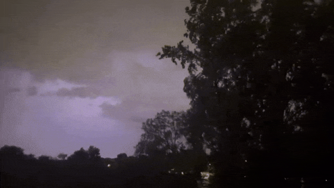
Several flashes of lightning in quick succession were caught on video Saturday morning during severe thunderstorms. Storms blasted through the state bringing destructive winds.
The storm didn’t let up as it swept into the Omaha area, with gusts reaching 75-85 mph along areas just went and northwest of Downtown Omaha. Gusts reached 87 mph in Millard and 86 mph in Blair. National Weather Service spotters reported numerous trees down across the region.
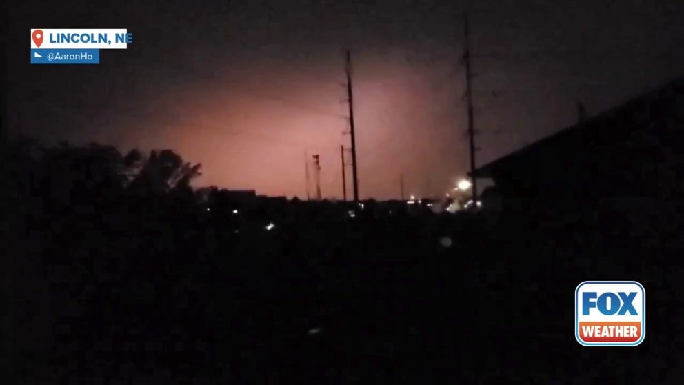
Videos posted on social media showed city officials sounding tornado sirens in the Omaha area to warn of the impending damaging wind threat.

A dog named Stitch wailed along with tornado sirens blaring in Omaha on Saturday morning as destructive storms charged towards the city. As Stitch howls, lightning flashes in the background.
Over 80,000 electricity customers lost power in Nebraska during the peak of the storm, according to findenergy.com. Douglas County Emergency Mangement reported four transmission lines were down in Blair and Ceresco, near Omaha.
Severe Thunderstorm Watches linger into 8 a.m. CT for eastern Nebraska but extending into noon for north-central Iowa as the thunderstorm cluster moves east.
#Sirens #wail #mph #winds #blast #Nebraska #leaving #power