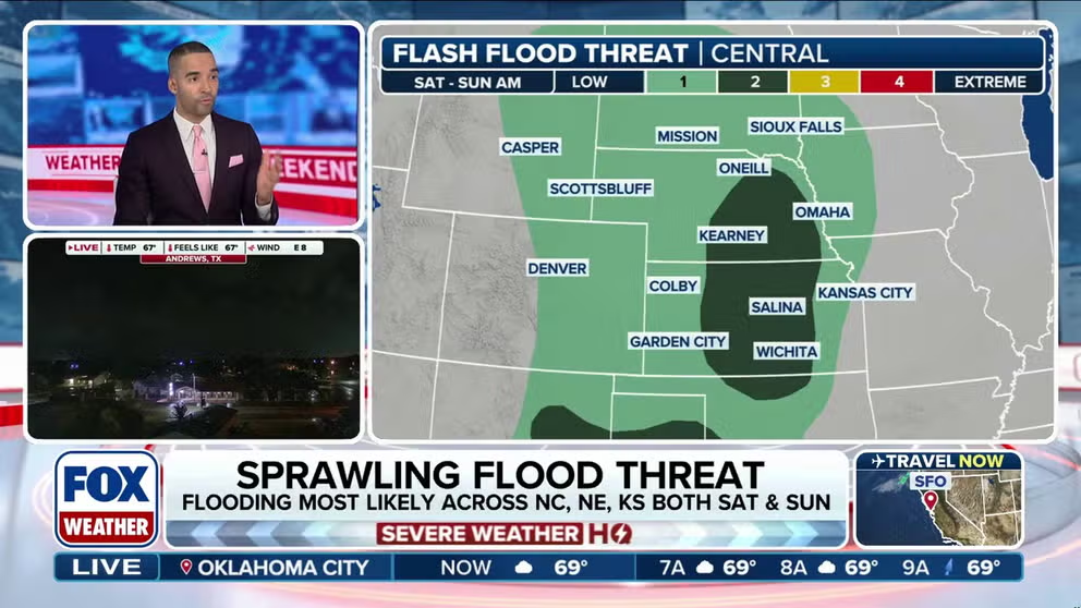
Parts of Texas, New Mexico, Kansas and Nebraska are all under heightened risks for flash flooding this weekend.
While, in the general sense, the forecast for much of the nation for Labor Day weekend is tranquil, there are some storms out there that could bring a bit too much rain at a time, triggering localized flooding.
A frontal boundary is forecast to stretch from New Mexico through parts of the South, with waves of low pressure traveling along it and triggering widespread showers and thunderstorms.

(FOX Weather)
With abundant atmospheric moisture in place, flash flooding remains possible from New Mexico to Georgia throughout the weekend, according to the FOX Forecast Center.
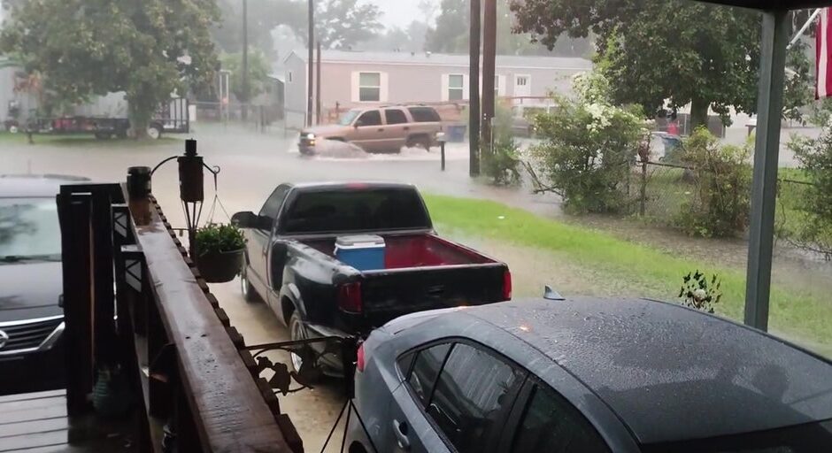
Flash Flood Warnings were posted near Lake Charles Saturday morning. Newsportual Weather Service reported a high school gym was flooded in nearby Sulphur.
By Sunday, the higher flash flood risk will shift into New Mexico and far West Texas. Ruidoso could see additional flash flooding, and there is concern for river flooding in northern New Mexico near the Sapello, Pecos and Vermejo rivers. In addition, parts of West Texas, including as far south as El Paso, could face flash flooding.

(FOX Weather)
LABOR DAY WEEKEND FORECAST: WINNERS AND LOSERS OF SUMMER’S LAST HURRAH
Farther east, the same front will sag south across the Gulf Coast and eventually stall, the FOX Forecast Center says. Afternoon showers and storms will persist across southern Alabama, Georgia and Mississippi. With high moisture levels in place, flash flooding will remain possible through Sunday.
By early next week, the flood threat is expected to gradually diminish as the front shifts farther south and weakens.
‘Sunshine State’ a misnomer this weekend
A slow-moving front is triggering rounds of showers and thunderstorms across Florida that will be a thorn in beachgoers’ sides through the holiday weekend.
Energy riding along the nearly stationary front across Florida and the Southeast may help a surface low pressure system develop. This would most likely occur by Saturday off the coasts of Georgia and the Carolinas.

(FOX Weather)
The added moisture along the front will boost rainfall totals, with 3-5 inches possible across Southeast Florida through early next week.
For this reason, a daily risk for flash flooding exists for most of the state now through Tuesday of next week. Most of the state looks to stay above average for precipitation into mid-September as tropical downpours remain in the forecast.
While that’s not good news for outdoor fun and sun, Florida could actually use the rain.
Both coasts are experiencing some level of drought conditions, with the most severe impacts stretching from West Palm Beach southward into the Florida Keys.
Fort Lauderdale is currently running nearly 2 inches below average for the month and more than 9 inches below average since June 1. While the upcoming rain won’t completely erase the drought, it will help improve conditions.
#Flood #threat #sprawls #South #Plains #rain #soaks #Florida #Labor #Day #Weekend


